GIS Embedded Program Makes Inaugural Visit to Rwanda
Wes McRae | June 1, 2023 - Atlanta, GA
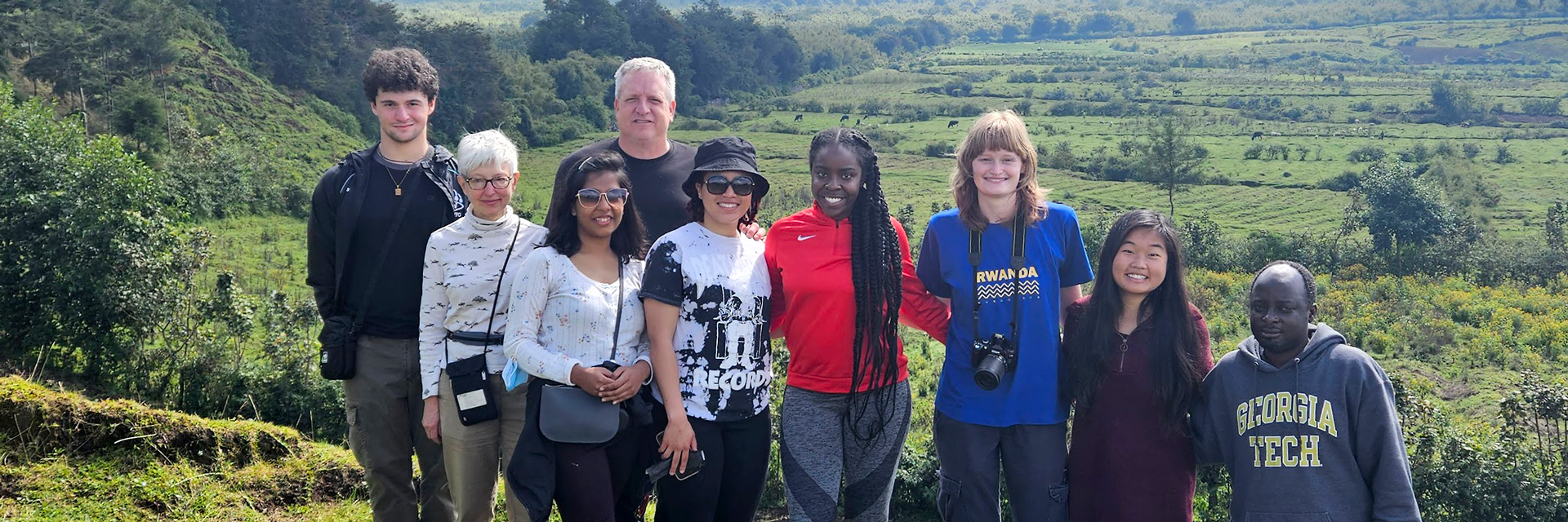
Five students from the School of City and Regional Planning's Introduction to Geographic Information Systems (GIS) class recently took part in the inaugural trip of the Rwanda Study Abroad: Sustainable Development program. The program is an embedded study abroad program run jointly with the H. Milton Stewart School of Industrial and Systems Engineering (ISYE).
Students in the program take either the Energy, Efficiency, and Sustainability or the Energy Technology and Policy class from Valerie Thomas, the Anderson-Interface Chair of Natural Systems in ISYE or the Introduction to Geographic Information Systems class from Tony Giarrusso, associate director of the Center for Spatial Planning Analytics and Visualization.
According to the program's homepage, students began working on sustainable development projects at the beginning of the semester, then traveled to Rwanda during spring break. There they met with Rwandan students, entrepreneurs, and government officials to learn about development challenges first hand and to develop context for their project learning.
"Thomas had the idea," Giarrusso said. "She was familiar with my work in Rwanda, so she asked me to be a part of it."
"For 20 years, our Center has helped the Dian Fossey Gorilla Fund International map mountain gorilla ranging patterns and understand conservation issues around Volcanoes National Park. We also helped establish the GIS Center at the National University of Rwanda in 2002."
According to Giarrusso, Thomas's classes are for upper-level or graduate ISYE students, and the final project has to be energy-related. "My class is a general introduction to GIS, and any student can take it."
Rwanda Trip Includes Project Work, Cultural Exposure
During the trip, students worked on a primary school site selection project given by ESRI Rwanda. "We visited ESRI, who has offices in Rwanda. They're the biggest GIS software company in the world," Giarrusso said. "And they gave our students a project to work on."
"They listed out 12-15 criteria that the students would have to address to identify a suitable site for a primary school. Using this criteria, the students would turn the results into a mobile application where people could visualize and analyze the potential school sites at their leisure."
Using lessons from the GIS class, students performed spatial analyses on Rwanda-specific datasets. They then created a story map showing different viable site locations.
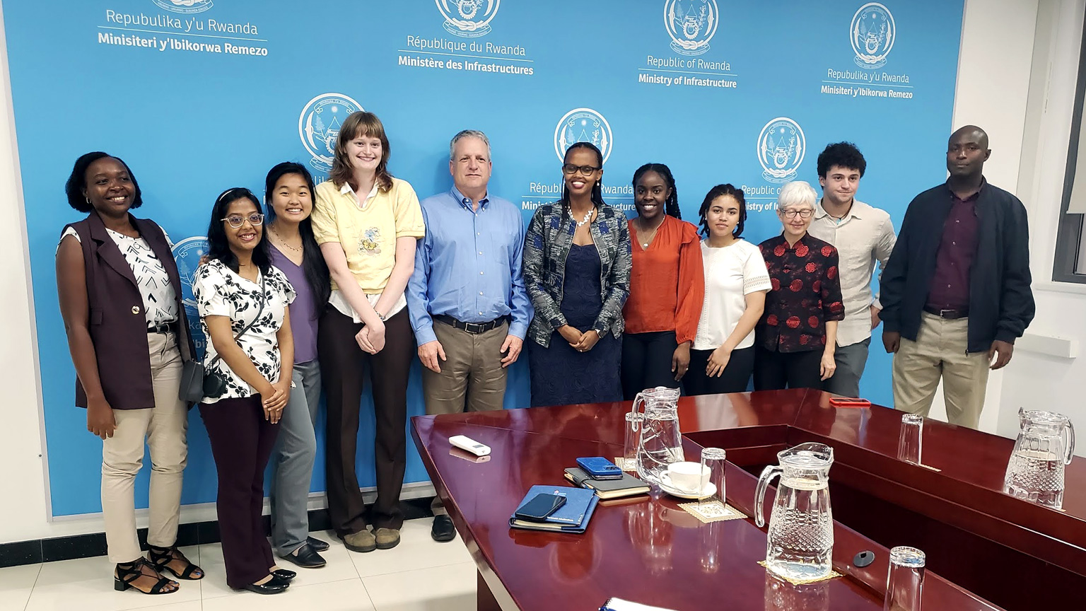
Later in the trip, students met with the Minister of State of the Ministry of Infrastructure, Patricie Uwase. "I reached out to Ms. Uwase and discovered that she completed graduate school at Berkeley as a transportation engineer. And I thought maybe she'd be interested in meeting with our students," Giarrusso said.
"She gave us an overview of the issues in Rwanda as they relate to infrastructure: water, transportation, and energy. The students loved it."
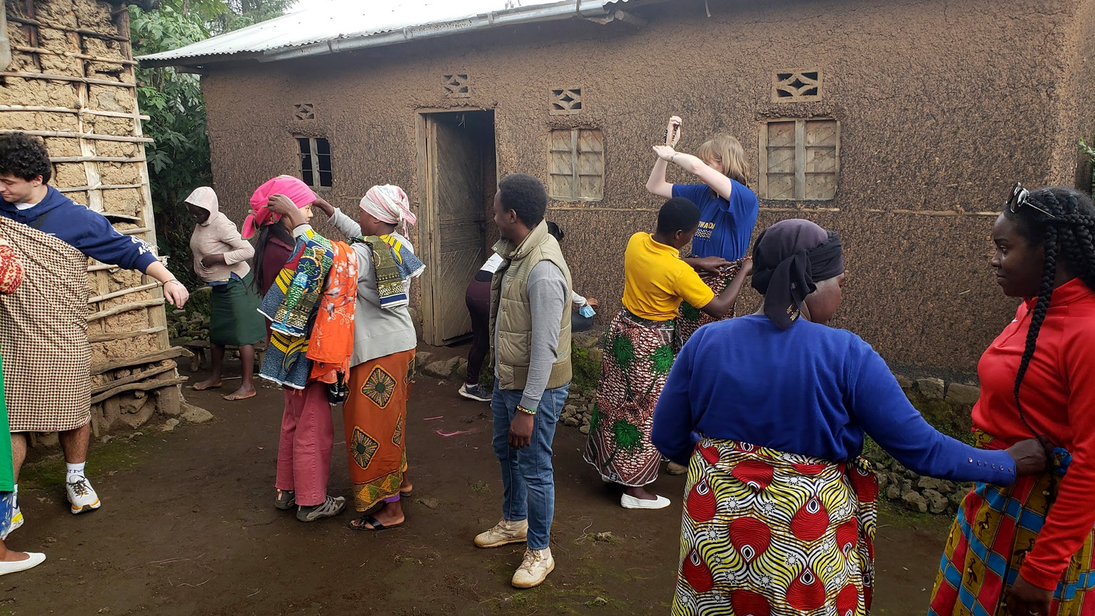
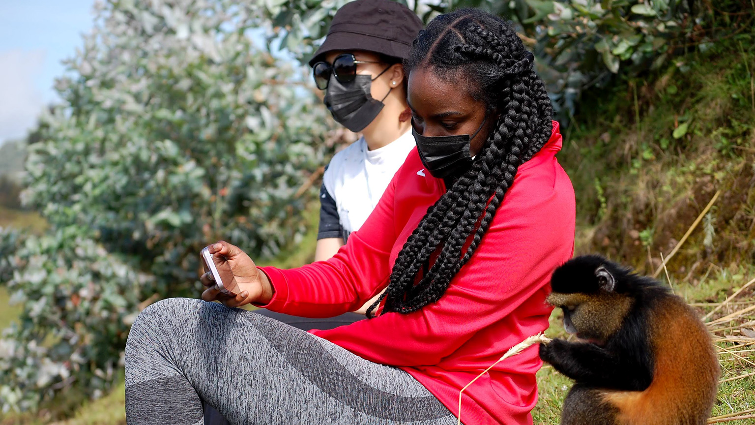
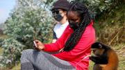
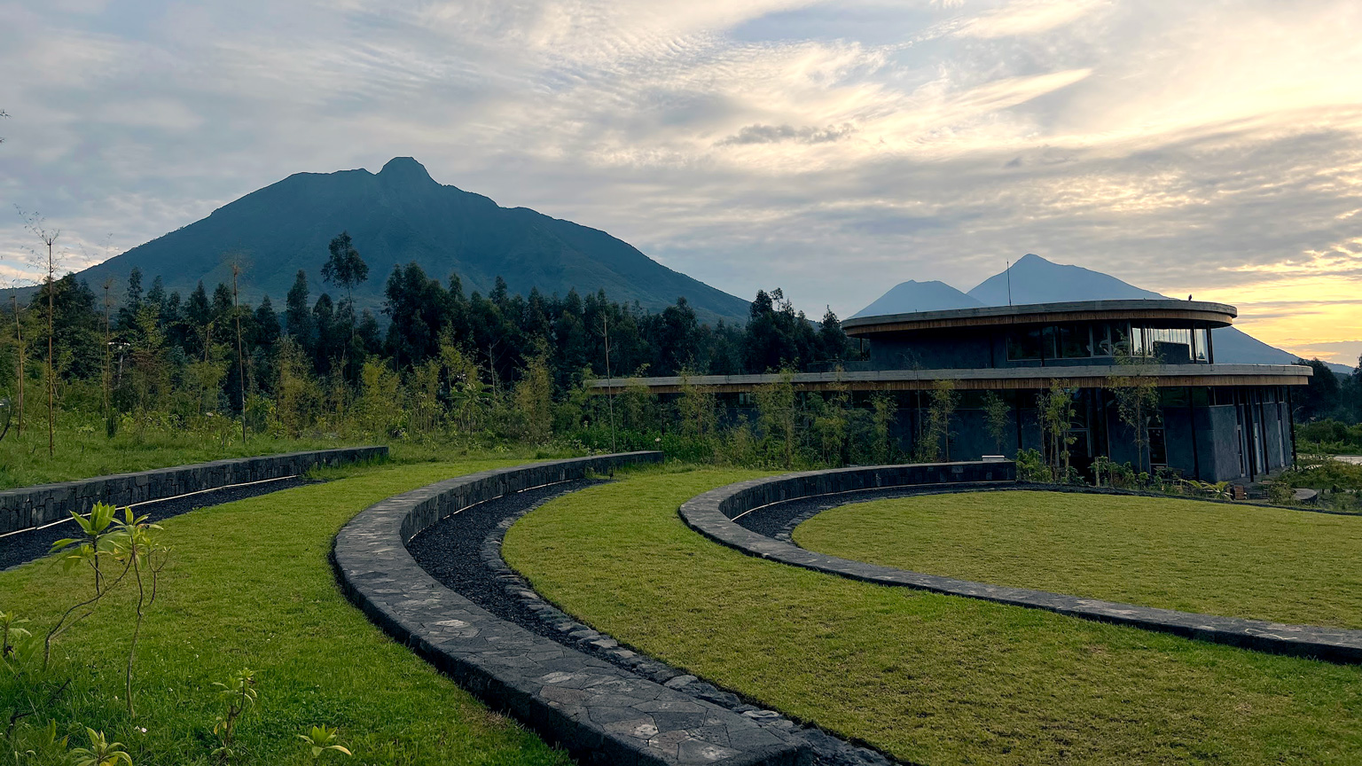
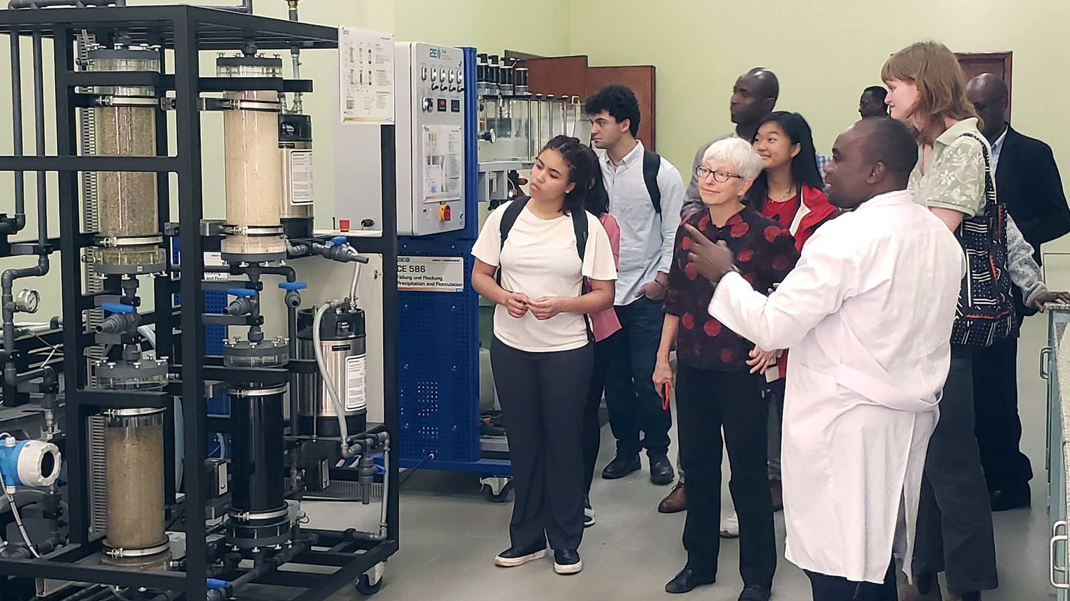
Other stops on the trip included meeting peers at University of Rwanda and Rwanda Polytechnic Institute, visiting the Genocide Memorial, experiencing village life through an Immersive Village Experience, hiking to see the Golden Monkeys in Volcanoes National Park, and touring the Ellen Campus of the Dian Fossey Gorilla Fund International, site of last year's architecture studio visit.
Afterwards, the students created a full ESRI StoryMap of their trip experience.